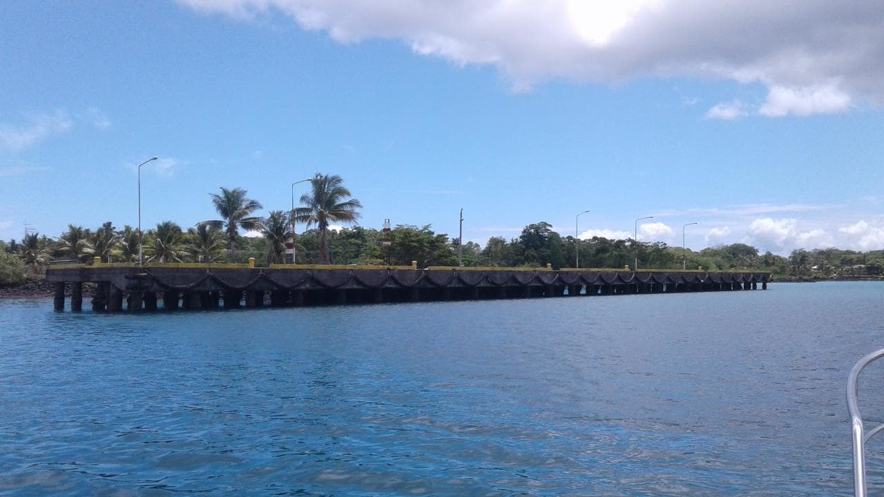
Asau Harbour is located at: Latitude 13° 30’ 35’’ south, Longitude 172° 38’ 05’’ west. A wharf was constructed in Asau in the 1960s to support logging operations of an American company Potlatch Corporation and operation was closed in Samoa in 1976.
The village of Asau is situated on the northwestern coast of Savai’i island in Samoa. It is the capital village of the Vaisigano political district and serves as the main business centre at the west end of the island and is approxi- mately 60 km by car from Salelologa village. The harbor in Asau is the most sheltered by in Savaii and a natural choice for a fishing base.
The breakwater protecting the bay is an old American airstrip from World War II. The port was well used in the past as it was well protected on the east and south by the main land and on the north and west by coral reefs. The Port of Asau is currently under the care and jurisdictions of Samoa Ports Authority pursuant to the Ports Authority Act 1999.
The port area is defined to include all seas areas within a two (2) mile radius from the main wharf.
The wharf at the Port of Asau has max axle load of 10 tons measures 120m long and 13m wide with a height 2.8m above datum, having O- type fenders from one end of the wharf to the other.
The current approach channel has a depth of 5.9m to 6.9m and the width varies from 54m to 38m. Due to solid and hard coral bed, the channel was not completed as planned to a width of 68.5m and a depth of 10m at low tide in order to target reasonable sized ships to enter the port for future developments, so the request arises for a private public partnership with cruise companies.

